
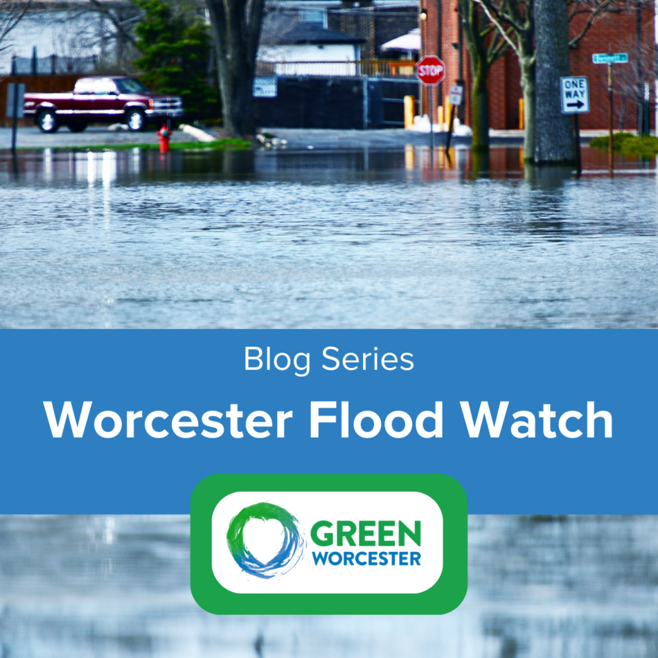
Part of Green Worcester’s mission is to work with community members to establish structural and institutional support systems that can protect us from climate change impacts including severe storms, extreme heat, and flooding.
What is the connection between climate change and flooding?
While world leaders have made progress on reducing global greenhouse gas emissions and pollution, the planet is still heating up, meaning communities like Worcester need to know the risks that come with a warmer world. According to the Environmental Protection Agency, climate change is projected to increase the frequency and intensity of extreme precipitation and storms, which can lead to hazardous flooding.

Image Credit: Climate Council
What about Worcester?
A warmer and wetter Worcester means more flooding than we’ve had previously. The City is frequently impacted by extreme precipitation. The rain floods several low-lying areas as well as areas with limited stormwater drainage capacity. Neighborhoods like Green Island, Cambridge Street, Southgate Street, and Pelham Street are especially vulnerable.
Future projections indicate that city infrastructure will become further stressed under extreme flooding events. This hazard impacts public transportation, can result in significant property loss, and can create public health and safety issues.
Using historic flooding data, Worcester developed flood projection maps (see below) which compare the flood-impacted areas from 2006-2016 to the projected impacted areas in 2070. As you can see, 2070 could see a lot more flooding than we have in the past few years.

How is the City taking action?
Urban flooding poses a growing risk to the City, but we are actively taking steps to build resilience and reduce the effect of future extreme storm events. In 2019, the City finalized a Municipal Vulnerability Preparedness Plan which detailed steps the City can take to reduce flooding risks. The City has begun following the plan’s recommendations by installing natural flood protections like rain gardens on city property, installing permeable pavement in parks such as Coes Knife Park and Crompton Park, and is creating a Drainage and Green Infrastructure Master Plan. The plan will help us determine what areas of the City need grey infrastructure upgrades (aka: better plumbing) and identify opportunities for green infrastructure projects.
How can YOU help the City reduce flooding and increase its resilience to extreme weather?
As part of the Drainage and Green Infrastructure Master Plan, the City launched the Flood Watch community science project. Community Scientists monitor local flooding by taking photos, videos, and field notes to help pinpoint needed improvements to the City's stormwater system. This is a great opportunity for volunteer community members and students to aid Worcester’s resilience efforts!

The City held a Virtual Training Session on July 12, 2023. You can view the recorded session and slideshow presentation below.
Watch the recorded presentation
Previous Post
All About Electric Vehicles in Worcester